Similar prompts
Explore related ideas selected from the Pixloop prompt library.

Use the uploaded image as a topographic map for route planning. The red line is the precise camera trajectory that the flight must strictly follow and must be completely removed from the final video.
@mazeguru_ai
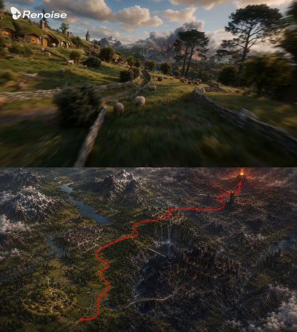
Use the uploaded image as a route-planning terrain map. The red line indicates the intended camera flight path and direction only. The red line, arrow, and all annotations must be completely removed f
@Mayz1169

Remove the red line, arrows, and all guide marks from the final video. The red path is used only for camera motion guidance. Create a first-person FPV drone shot with cinematic, ultra-fast, one-take m
@hedo_ist

Clean up and remove the red arrow from the landscape. Use the path indicated by the arrow to guide a smooth, cinematic camera movement, following that path. Continuous tracking shot : Continuous first
@hedo_ist
![FPV drone flight based on the camera path in the reference image. Use @[image_1] as the visual…](https://prompts.pixloop.ai/cdn-cgi/image/width=600,format=auto,quality=80/prompts/assets/prompts/2068780359333130389/0.jpg)
FPV drone flight based on the camera path in the reference image. Use @[image_1] as the visual reference for the fantasy sci-fi kingdom, the cloaked warrior, the cliff, the distant glowing city, and t
@IqraSaifiii
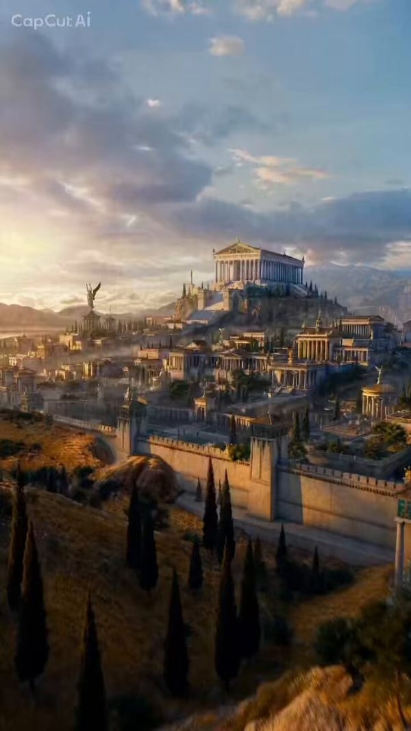
Use the scene with the red path overlay as the exact FPV camera route, The red line is only a hidden motion guide and must not appear in the final Model .
@TheOrdering